
Tabla de contenido
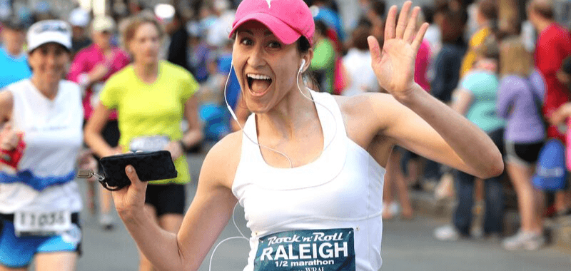
The iconic New York Marathon will take runners, as usual, through the five boroughs of New York City. The first edition of this race took place in 1970 and had the participation of 127 runners who paid just $1 for their registration. Of those, only 55 crossed the finish line.
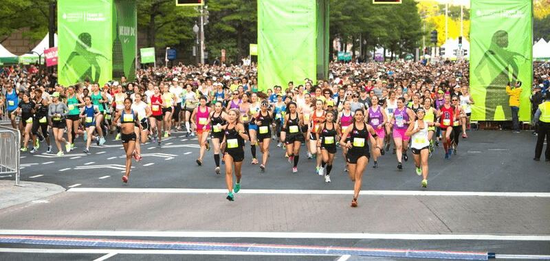
Six years after its debut, the New York Marathon changed its route (which remains today). In the last 50 years, it has also registered an increase in the number of participants, becoming the largest marathon in the world, with more than 50,000 finishers, and is part of the marathon majors.
What is the route of the New York Marathon?
Below is the interactive map of the New York Marathon route.
In the following video, you can visually tour the New York Marathon route and learn about its most notable details.
The marathon begins in Staten Island, on the Fort Wadsworth side of the Verrazano- Narrows Bridge, which remains closed to vehicle traffic throughout the event until landing in Bay Ridge, Brooklyn, with approximately three kilometers covered behind it.
Runners will then continue north in Brooklyn on Fourth Avenue, through Sunset Park (Mile 8) and Park Slope (Mile 11), before reaching the intersection of Lafayette Avenue and Flatbush Avenue ( Mile 12). 13 ). The route will take runners through Williamsburg and Greenpoint, to the Queensboro Bridge at Mile 24.

What bridges does the New York Marathon cross?
After crossing the Queensboro Bridge, the route will take runners along the east side of First Avenue, peaking at 138th Street in the Bronx at mile markers 33-34. They will descend along Fifth Avenue until they reach the finish line at Central Park West Drive and 67th Street.
The New York City Marathon is famous for its route that crosses several iconic bridges, each presenting its challenges and offering impressive views. Here’s a description of the main bridges along the marathon route:
Bridges on the New York City Marathon Route
- Verrazzano-Narrows Bridge
- Location: Between Staten Island and Brooklyn.
- Description: This is the first bridge runners cross at the start of the marathon. It is approximately 4,176 meters (13,700 feet) long and has a considerable incline on the ascent. It offers panoramic views of the city and New York Harbor.
- Challenge: The initial ascent can be tricky, especially at the beginning of the race, when runners tend to be very excited.
- Pulaski Bridge
- Location: Connects Brooklyn with Queens.
- Description: This bridge is approximately at the marathon’s midpoint, around kilometer 21 (mile 13). It is less steep than the Verrazzano-Narrows but still presents a notable ascent.
- Challenge: This bridge marks the halfway point of the race, which can be mentally challenging for many runners.
- Queensboro Bridge (59th Street Bridge)
- Location: Connects Queens with Manhattan.
- Description: This bridge is one of the most challenging parts of the course. It is a long, steady climb and descent, around kilometer 25 (mile 16). No spectators are on the bridge, making this section lonely and long.
- Challenge: The lack of crowd support and the significant elevation gain can be mentally exhausting. The steep descent into Manhattan can also be tricky on the legs.
- Willis Avenue Bridge
- Location: Connects Manhattan with the Bronx.
- Description: This bridge is shorter and less steep than the previous ones. It is located around kilometer 32 (mile 20).
- Challenge: Although not as challenging as the other bridges, it comes at a late stage in the race when fatigue starts to accumulate.
- Madison Avenue Bridge
- Location: Connects the Bronx with Manhattan.
- Description: This bridge takes runners back into Manhattan around kilometer 33 (mile 21). It is relatively short and not very steep.
- Challenge: Like the Willis Avenue Bridge, it comes late in the race, so runners need to stay focused and conserve energy.
Tips for Running on the Bridges
- Maintain a Steady Pace: To conserve energy, avoid running too fast on the ascents and keep a steady pace.
- Train on Hills: Include hill training to prepare your legs for the bridge climbs and descents.
- Recover on the Descents: Use the downhill sections to recover, but maintain good form to avoid injuries.
- Visualize the Route: Before the marathon, familiarize yourself with the route and the bridges to know what to expect and plan your strategy.
The New York City Marathon bridges are an iconic and challenging part of the race, but with proper preparation, you can overcome them and enjoy the experience. Good luck with your training and race!
What is the elevation profile of the New York Marathon?
Regarding the altimetry of the New York Marathon course, runners face its steepest and longest incline from the start when they pass over the Verrazano Bridge. The climbs that follow on Lafayette Avenue in Brooklyn and the Queensboro Bridge are also quite steep. The incline that runners will encounter on Fifth Avenue, passing through kilometer 37, could be a final challenge at the end of the race.

New York Marathon Refreshment Station
The organizers of the New York Marathon have arranged medical aid stations approximately every two kilometers from kilometer 5 to the finish line. Likewise, they invite runners to stop at the nearest medical aid station if they suffer an injury or feel discomfort. The medical team will be equipped with automated external defibrillators (AED) in ambulances along the route and at medical aid stations across the finish line.
From kilometer 5, hydration stations with water and isotonic drinks will be available every two kilometers. From kilometers 32 to 37, there will be fruit stations. Portable toilets will be found every two kilometers, starting at kilometer 5.
Download the route in .GPX file, forecast, and time calculator of the New York City Marathon
Download the New York Marathon route.GPX file, prognosis, and time calculator.
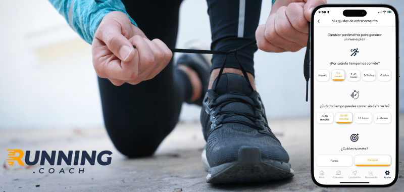
Create a personalized and dynamic training plan with running.COACH that optimally prepares you for your running goals based on your current fitness level, including regeneration runs. Try running.COACH free of charge for fifteen days after the first session start.
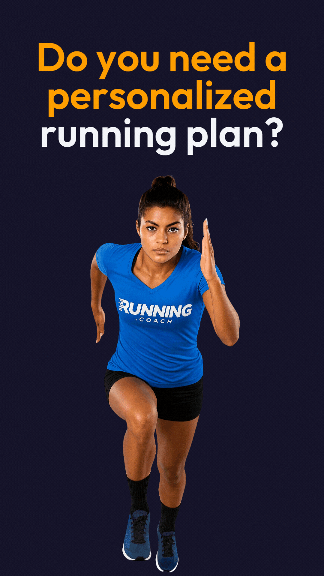
Looking for a plan that trains with you, not against you?
At running.COACH, we don’t just build a schedule. We create a smart, living plan that evolves with you. It understands your level, your race goals and your real life. Whether you sync your GPS watch or train straight from our iOS or Android app, your plan adjusts automatically as you improve.
From day one, you’ll feel the difference:
- A fully personalized, dynamic plan designed for you.
- Automatic sync and effortless workout tracking.
- Real-time updates when life happens, including missed sessions, new races or schedule changes.
- Simple, science-backed guidance to train smarter and recover faster.
🎁 Start today and enjoy your first 30 days free.
Because the best training plan isn’t one you follow. It’s one that follows you.app.


0 Comments